 100% Free
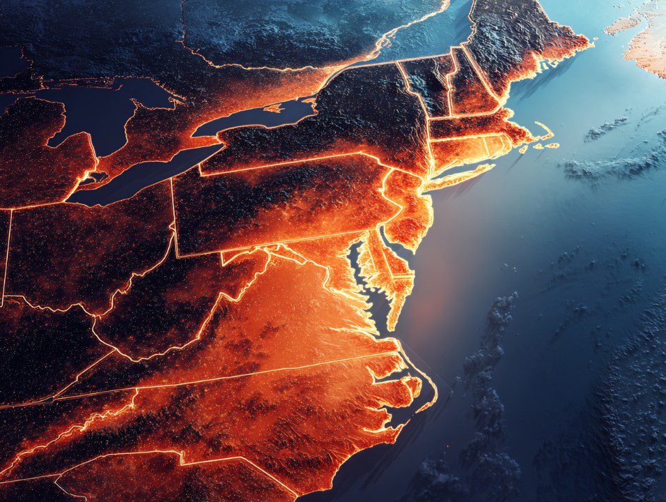
Glowing Map of the Northeastern United States
A futuristic glowing map of the Northeastern United States from above, highlighting state boundaries and topography. Ideal for presentations, education, or tech themes.
Template Details
A detailed top-down digital rendering of the Northeastern U.S. states glowing with light. This high-tech illustration highlights state borders, terrain, and coastlines in stunning clarity and color.
- Source
- PresentationGo
- Format
- bin
- File size
- 229 KB
- Downloads
- 0
Author / Copyright:PresentationGo
Original source:PresentationGo original