 100% Gratis
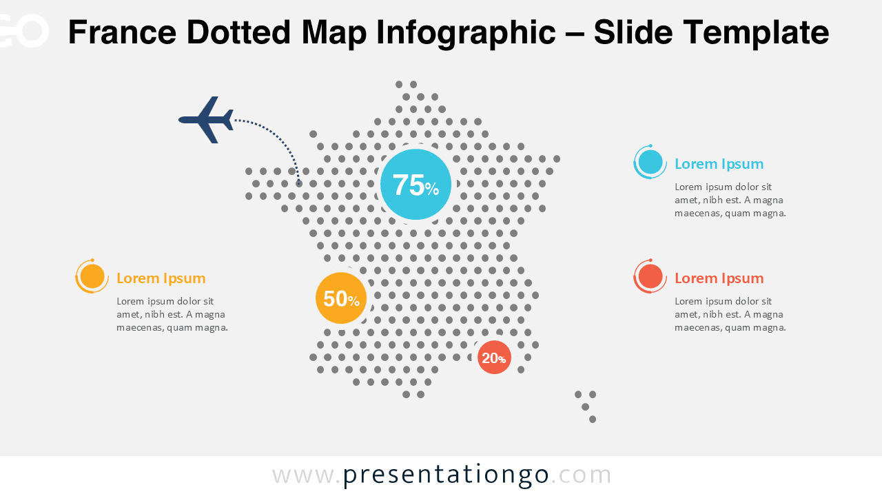
France Dotted Map Infographic
Download the modern France dotted map infographic for PowerPoint and Google Slides, perfect for data-driven reports and regional analysis.
Detalles de la plantilla
The France Dotted Map Infographic is a clean and modern visual tool designed to help you present geographic data clearly and effectively. Built with a dotted silhouette of France, this infographic is ideal for highlighting regional statistics, key performance indicators, or geographic insights in a visually engaging way.
- Fuente
- PresentationGo
- Formato
- pptx
- Tamaño
- 134 KB
- Descargas
- 0
Autor / Copyright:PresentationGo
Fuente original:PresentationGo original