 100% Gratis
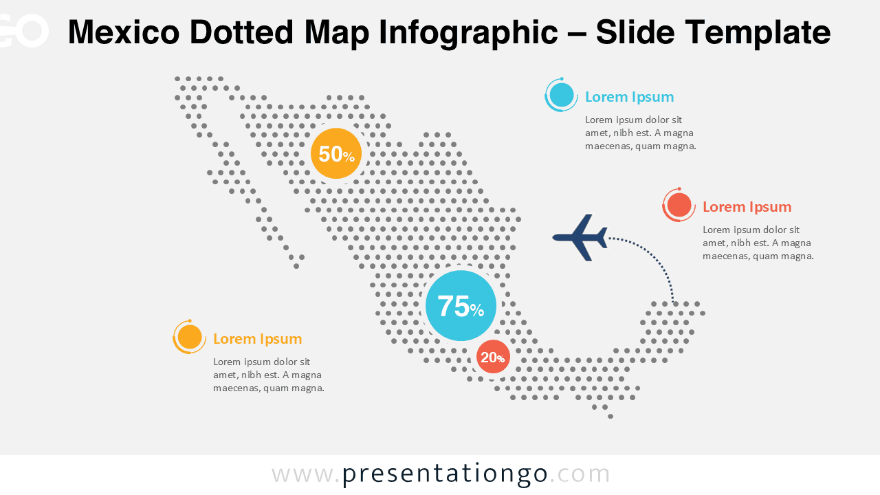
Mexico Dotted Map Infographic
Download the professional Mexico dotted map infographic for PowerPoint and Google Slides, ideal for business and regional data visualization.
Detalles de la plantilla
The Mexico Dotted Map Infographic is a clean and professional visual tool designed to help you present geographic data with clarity and impact. Built for both PowerPoint and Google Slides, this infographic makes it easy to highlight regional insights, statistics, and key locations across Mexico.
- Fuente
- PresentationGo
- Formato
- pptx
- Tamaño
- 155 KB
- Descargas
- 0
Autor / Copyright:PresentationGo
Fuente original:PresentationGo original
Recursos relacionados

NEW
Gratis
SlidesCarnival⬇0
Discover the Charm of This Vintage Geography Map Presentation
Discover our Colorful Geometric Map Presentation. A modern yet vintage twist on geography. Features minimal, retro, and map illustration. Fully customizable and 100% free to use.
PowerPoint Templates
pptx · 39 MB
NEW
Gratis