 100% Gratuit
Atlantic-Centered World Map
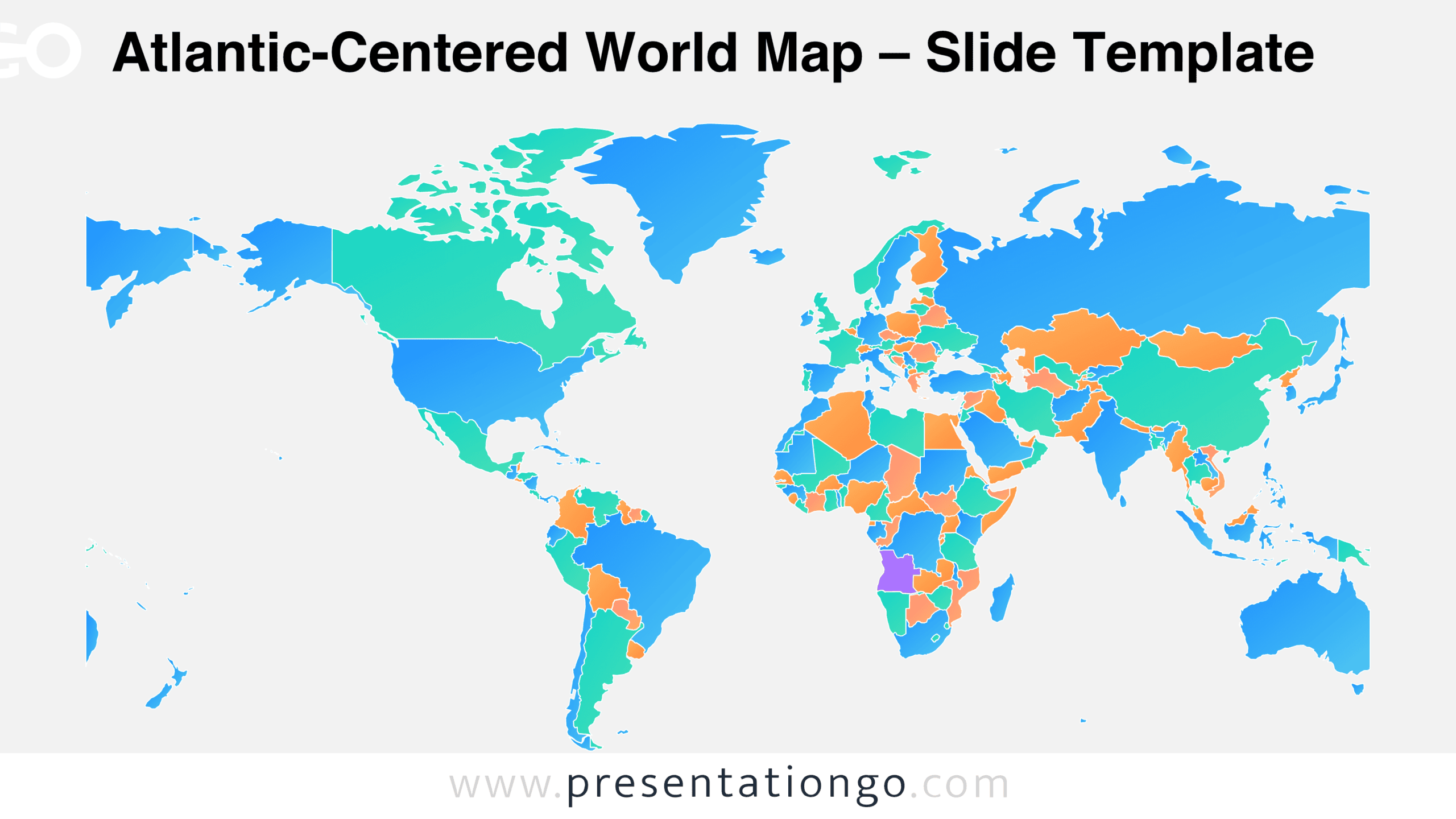
Download the Atlantic-Centered World Map for PowerPoint and Google Slides. Present country-level information with a detailed world layout and editable shapes.
Détails du modèle
The Atlantic-Centered World Map offers a different perspective on global geography by placing the Atlantic Ocean near the center. Designed for PowerPoint and Google Slides, this editable political map displays individual countries across the world’s major landmasses. Its familiar geographic outlines make it suitable for presentations about international relationships, regional developments, and global affairs. This world map includes two slide versions with different backgrounds. Both display the same geographic arrangement, making it possible to choose the version that fits an existing presentation. Preview the slides below to examine the country boundaries, continental outlines, and overall map composition.
- Source
- PresentationGo
- Format
- pptx
- Taille
- 646 KB
- Téléchargements
- 0
Auteur / Copyright:PresentationGo
Source d’origine:PresentationGo original