 100% Gratuit
Bangladesh Dotted Map Infographic
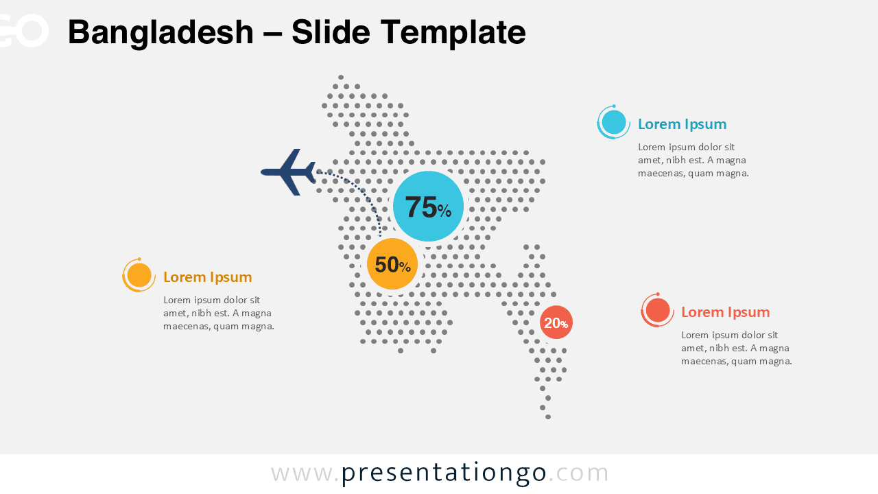
Download this Bangladesh dotted map infographic for PowerPoint and Google Slides. Highlight regional data, statistics, and insights with a clean, modern layout.
Détails du modèle
The Bangladesh Dotted Map Infographic provides a clean and modern way to present geographic data in PowerPoint and Google Slides. This visual layout uses evenly spaced dots to form the recognizable silhouette of Bangladesh, creating a stylish and professional data visualization tool for presentations. This infographic slide helps presenters highlight regional statistics, geographic insights, or business data connected to Bangladesh. The dotted design keeps the map simple and elegant while allowing key information to stand out clearly through percentage indicators and callout areas.
- Source
- PresentationGo
- Format
- pptx
- Taille
- 131 KB
- Téléchargements
- 0
Auteur / Copyright:PresentationGo
Source d’origine:PresentationGo original