 100% Gratuit
Map of Belgium for PowerPoint and Google Slides
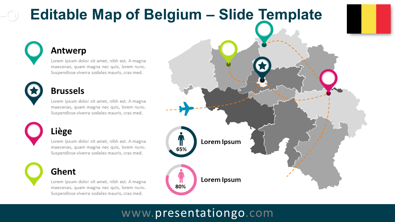
Free map of Belgium for PowerPoint and Google Slides. Map with the provinces of Belgium including the Brussels-Capital Region. Fully editable graphics.
Détails du modèle
Free map of Belgium for PowerPoint and Google Slides. Map with the provinces of Belgium (including the Brussels-Capital Region), colored location pins, and flag. Fully editable graphics with text placeholders. Use this map of Belgium for your infographic information, to visualize geographical data, to locate offices or some specific places, sales territories, to show paths, travel routes, etc. Shapes are 100% editable : each individual Belgian province is an independent shape that can easily be separated, dragged, colored, outlined, and labeled.
- Source
- PresentationGo
- Format
- pptx
- Taille
- 324 KB
- Téléchargements
- 0
- Diapositives
- 2
- Format
- 16:9
Auteur / Copyright:PresentationGo
Source d’origine:PresentationGo original