 100% Free
Algeria Dotted Map Infographic
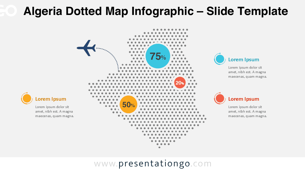
Algeria dotted map infographic with editable elements and clean layout. Compatible with PowerPoint and Google Slides.
Template Details
The Algeria Dotted Map Infographic is designed to help you present geographic data and country-level insights in a clear and modern way. This slide offers a dotted representation of Algeria that works well for statistical overviews, regional highlights, and visual storytelling in professional presentations. The map uses evenly spaced dots to create a recognizable silhouette of Algeria while leaving enough visual space for data markers, labels, and annotations. This approach keeps your slide clean, readable, and easy to customize for different presentation needs.
- Source
- PresentationGo
- Format
- pptx
- File size
- 163 KB
- Downloads
- 0
Author / Copyright:PresentationGo
Original source:PresentationGo original