 100% Free
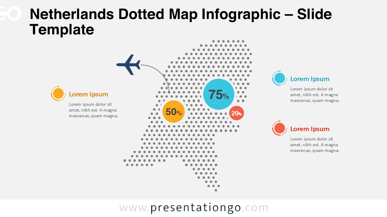
Netherlands Dotted Map Infographic
Download a free Netherlands dotted map infographic for PowerPoint and Google Slides. Editable shapes, data markers, and light or dark slides.
Template Details
The Netherlands Dotted Map Infographic is a clean and modern visual designed to help you present geographic data with clarity and impact. These slides are optimized for professional presentations, reports, and educational materials where country-level insights matter. It works seamlessly in both PowerPoint and Google Slides, ensuring flexible use across platforms. With its dotted structure and balanced layout, this map allows audiences to quickly understand spatial information without visual overload. The design supports data callouts, percentages, and annotations, making it ideal for analytics-driven storytelling.
- Source
- PresentationGo
- Format
- pptx
- File size
- 143 KB
- Downloads
- 0
Author / Copyright:PresentationGo
Original source:PresentationGo original